The archipelago of the Ons islands is composed of Ons, Onza and other small islets. Land belongs to Marine Atlantic Islands of Galicia National Park since 2002.
It has a length of more than 5 km. Long and administratively belongs to the municipality of Bueu. It has a population of approximately 70 people. It is in summer when most of the islanders who emigrated to the continent return to the island to spend the summer at home. It can be said, therefore, that the island mostly has a seasonal settlement, still very low number of residents who remain there all year.
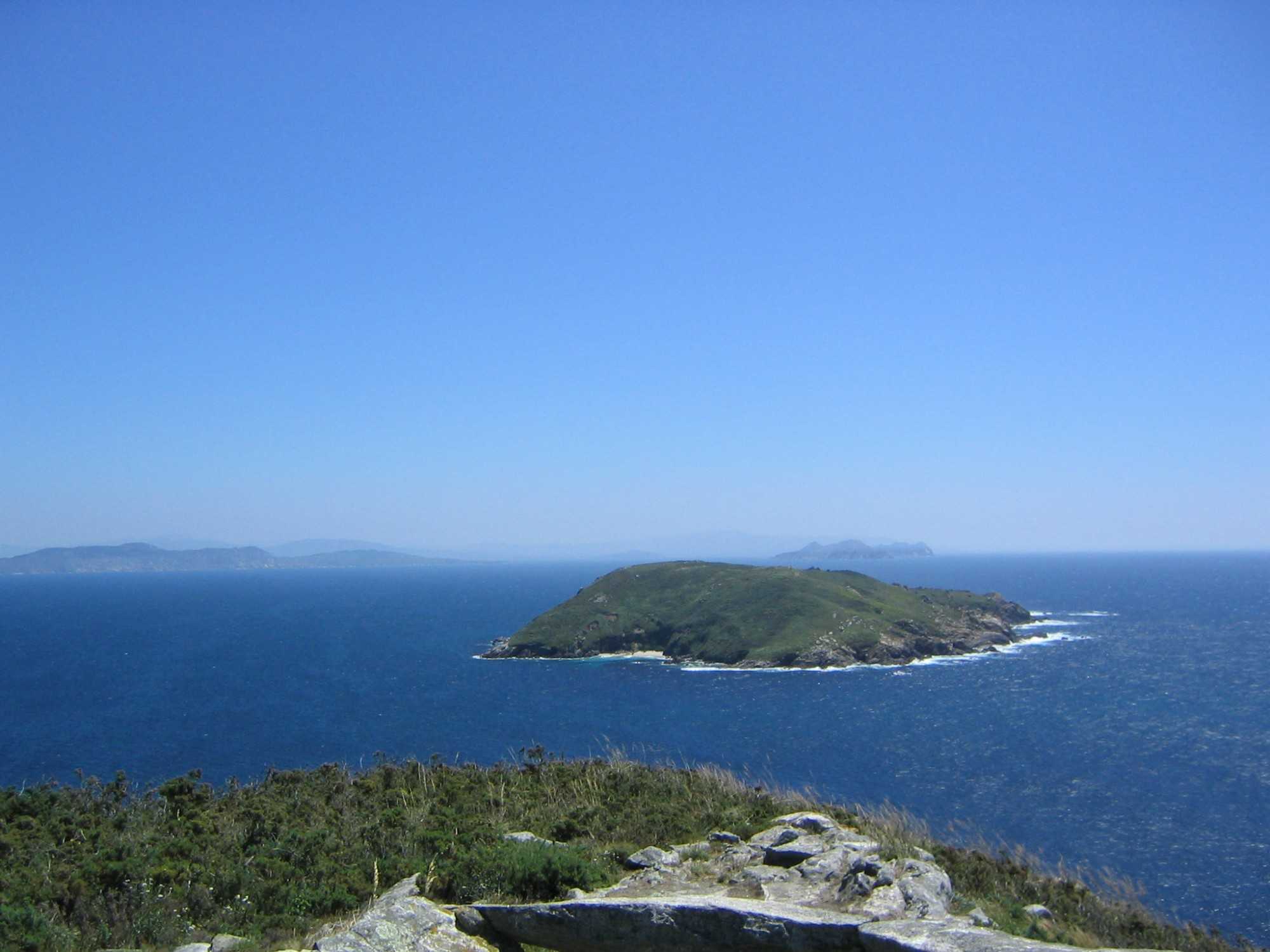
The island of Ons, which is located at the entrance of the Ria de Pontevedra, is the largest of the Galician Atlantic islands, with clean beaches, white sands and clear waters that make the island by the east side, where it is the small port and town with several restaurants that have the most typical dish octopus. The west side, beaten by the sea, in stark contrast, formed by cliffs and caves of rugged beauty. In addition, there are several hiking trails to explore whole or in part the island.
Hiking trails:
The hiking trails that can be performed on the island of Ons are 4:
South Route:
This route is circular, has a length of 6.2 km. And a height of 80 meters. The length of the route is 2 hours and its difficulty level is medium.
The route of this route is as follows:
Curro, village (exit). Beaches Area dos Cans, Canexol and Pereiró. Mirador de Fedorentos. Buraco do Inferno. Caniveliñas Cove. Curro.
North route:
This route is circular, has a length of 8.1 km. And a vertical drop of 100 meters. The length of the route is 3 hours and its difficulty level is medium.
The route of this route is as follows:
Curro, village (exit).
Fonte do Castelo.
Melide beach.
Mirador de Punta Centolo (restricted access from 15/02 to 31/07 for being farming area shags and yellow-legged gull).
Fonte do Gaiteiro.
Punta Liñeiros.
Caniveliñas Cove. Curro.
Faro route:
This route is circular, has a length of 4 km. And a vertical drop of 120 meters. The length of the route is 1 hour and a quarter and its difficulty level is low.
The route of this route is as follows: Curro, village (exit).
Faro (highest point of the island). Cove Caniveliñas and fountain. Curro.
Ruta do Castelo: This route is circular, has a length of 1.1 km. And a height of 20 meters.
The length of the route is 30 minutes and level of difficulty is medium.
The route of this route is as follows: Rest Area das Dornas beach.
Mirador do Castelo.
Source do Castelo. Curro. How to get: You reach the islands in shipping from the ports of Sanxenxo (ticket sales in the harbor, next to the parking) and Portonovo (ticket sales in the harbor, next to the roundabout in front of the fish market).
The regular boat tours are at Easter, June, July, August and September. Although out of season you can make group visits by appointment previously.
Services: Has: a camping area free service request through the webhttp: ówww.iatlanticas.es //reddeparquesnacionales.mma.es, Red Cross, public toilets, tourist information office (free guided tours in high season) bars and restaurants.
More information in: National Park Office Tel: 886 21 80 90 Webs: http://reddeparquesnacionales.mma.es, www.iatlanticas.es Email: iatlanticas@xunta.es